Beit Yeshua
Israel Trip
16 October 2011
Day 5
Home
DAY 1
12 October 2011
DAY 2
13 October 2011
DAY 3
14 October 2011
DAY4
15 October 2011
DAY 5
16 October 2011
Psalm 37
Song
Driving Through
Nazareth
Megiddo
Mt. Carmel
Falafel Lunch
Aqueduct
Caesarea
Tel Aviv
Dugit
Outreach
Center
Up to
JERUSALEM
Prima Kings Hotel
DAY 6
17 October 2011
DAY 7
18 October 2011
DAY 8
19 October 2011
DAY 9
20 October 2011
DAY 10
21 October 2011
DAY 11
22 October 2011
DAY 12
23 October 2011
Megiddo
Mark 1:9
And it came to pass in those days, that Jesus came from Nazareth of Galilee,
and was baptized by John in the Jordan.Revelation 16:16
And he gathered them together into a place called in the Hebrew tongue Armageddon (Megiddo).Acts 18:22
And when he (Paul) had landed at Caesarea, having gone up, and greeted the church,
he went down to AntiochDay 5
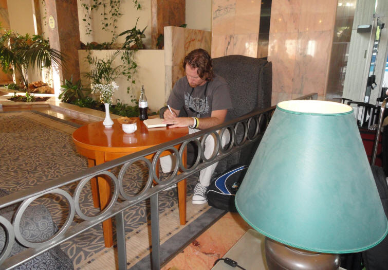
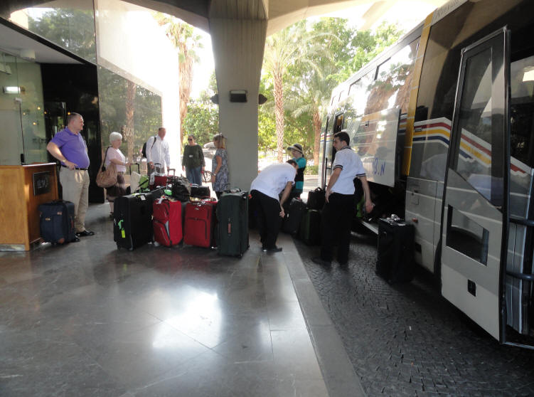
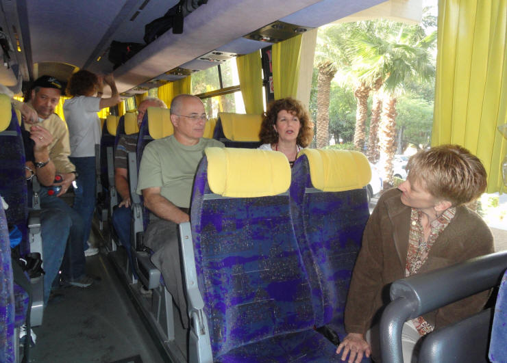
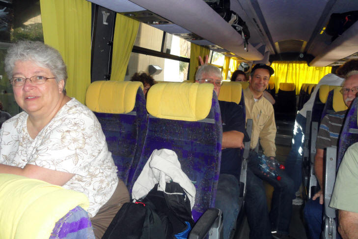
As day 5 began, our bags are packed and we were ready to move from Tiberias (on the Sea of Galilee) to Jerusalem at the end of the day. In the meantime, we'd be touring in Nazareth, Megiddo, Mt. Carmel, Caesarea and finally Jerusalem. Gid has a Diet Coke and does some journaling while waiting for the bus
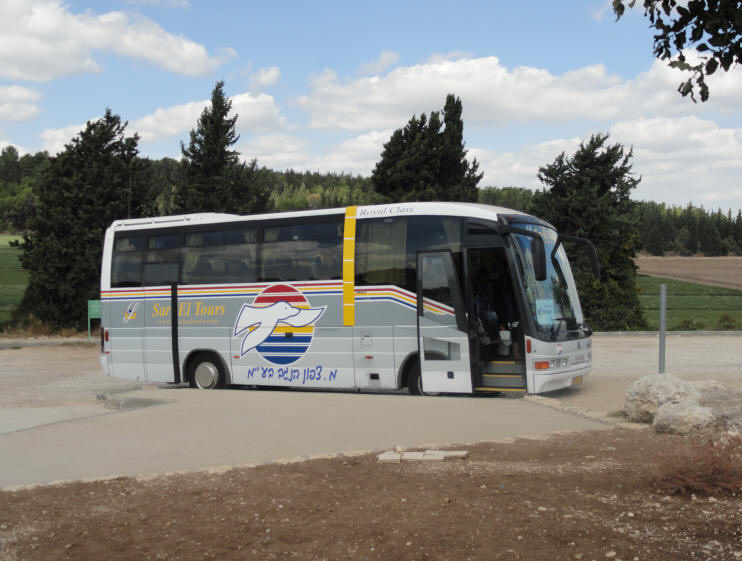
Everyone had to identify and verify their luggage before it could be loaded on the bus
The bus was loaded and off we go
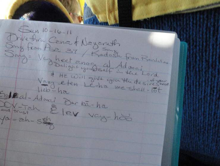
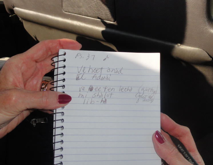
Our tour guide, Pamela Seran, taught us a song by Eleshiva Shomron in Hebrew to Psalm 37. Cathy was writing the words down - an I was videoing so that I could share it with you. Cathy's notes and words for the song
To see the Video of Pamela singing the song
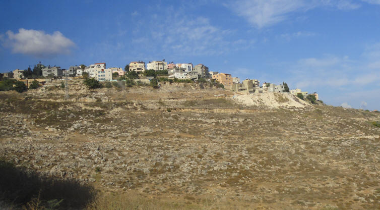
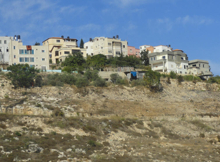
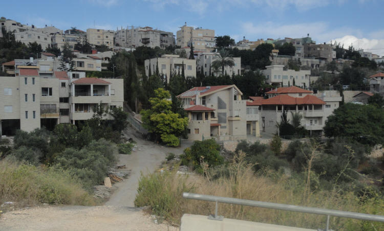
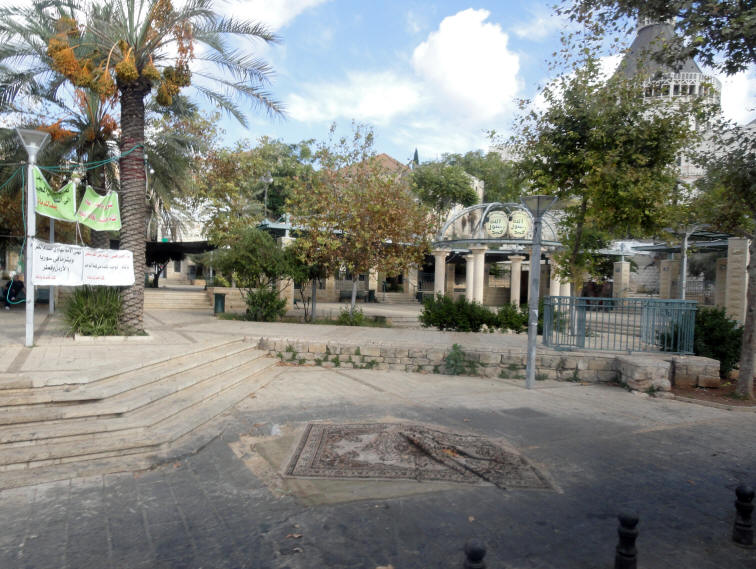
Driving Through Nazareth
Nazareth is the largest city in the North District of Israel. Known as "the Arab capital of Israel," the population is made up predominantly of Palestinian Arab citizens of Israel. In the New Testament, the city is described as the childhood home of Yeshua (Jesus), and as such is a center of Christian pilgrimage. According to the Gospel of Luke, Nazareth was the home village of Joseph, Mary and also the site of the Annunciation (when Mary was told by the Angel Gabriel that she would have Yeshua as her son). In the Gospel of Matthew, Joseph and Mary resettled in Nazareth after fleeing to Egypt from their home in Bethlehem. Nazareth was also where Jesus grew up from some point in his childhood Touring through Nazareth
Note the date palm trees on the left covered with dates
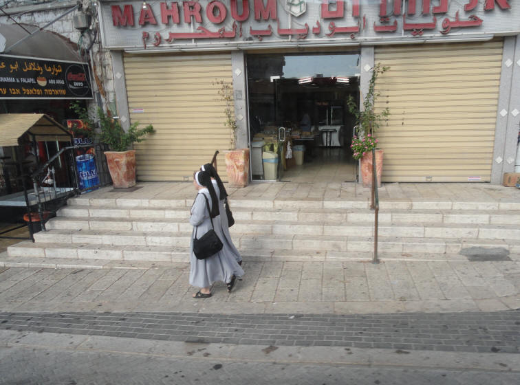
Catholic Nuns walk through the city
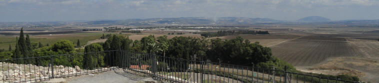
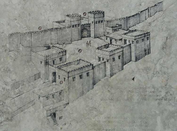
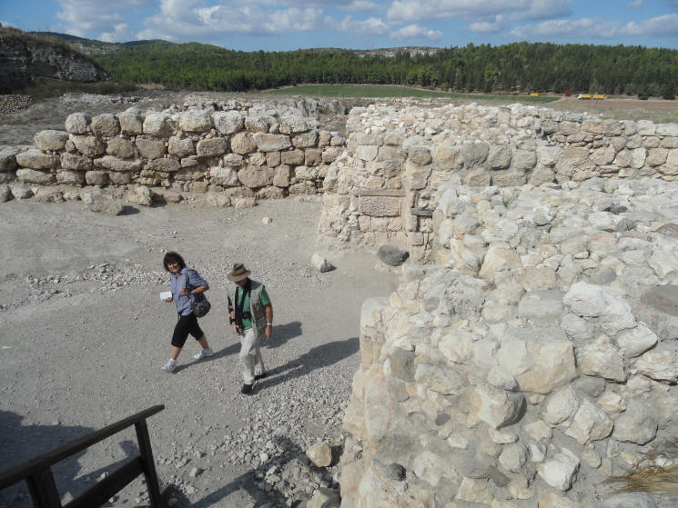
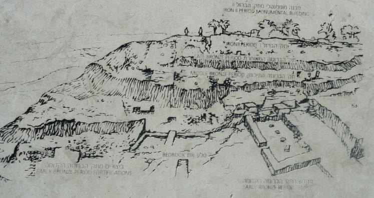
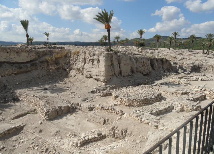
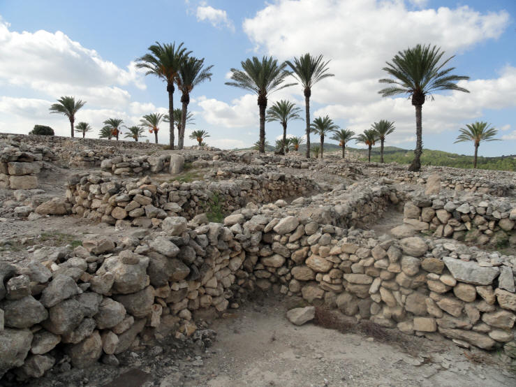
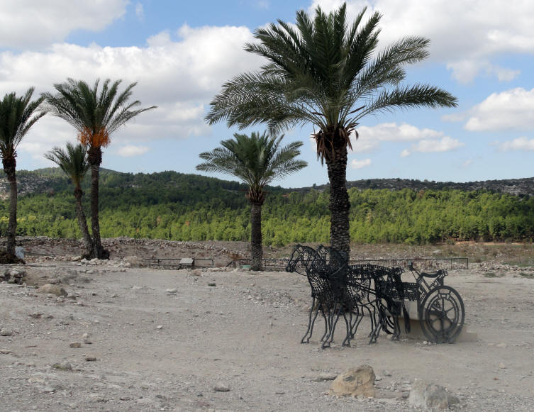
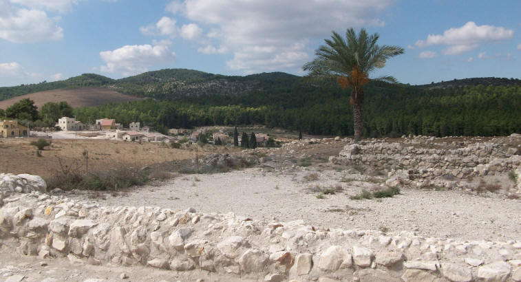
Megiddo is a tel (hill) in modern Israel near the Kibbutz of Megiddo, known for its historical, geographical, and theological importance especially under its Greek name Armageddon. In ancient times Megiddo was an important city-state. It is also known alternatively as Tel Megiddo (Hebrew). Megiddo is made of 26 layers of the ruins of ancient cities in a strategic location at the head of a pass through the Carmel Ridge, which overlooks the Jezreel Valley. Megiddo was a site of great importance in the ancient world, as it guarded the western branch of a narrow pass and an ancient trade route which connected the lands of Egypt and Assyria. Because of its strategic location at the crossroads of several major routes, Megiddo and its environs have witnessed several major battles throughout history. Megiddo is a great representative of the 200 Biblical tels in Israel which were flourishing cities in the past. These cities were established alongside ancient commercial roads and near prosperous agricultural areas, and were ruled by a central government. They made their mark on the history of the land of Israel and the people of Israel. Archaeological finds uncovered in these tels attest to urban planning, including gates, walls, temples, palaces, storerooms, stables, and water systems. The finds also represent an encounter between the local culture and the cultures of Egypt, Syria, Lebanon and the lands of the Aegean Sea. These cities existed during the Canaanite and Israelite periods, from the third to the first millennia BCE. For millions of Christians, Megiddo is the Armageddon of St. John's Revelation, where the forces of Good will defeat the forces of Evil in the Final Battle at the End of Days. The entrance to Tel Megiddo
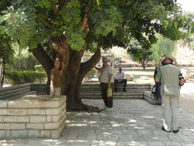
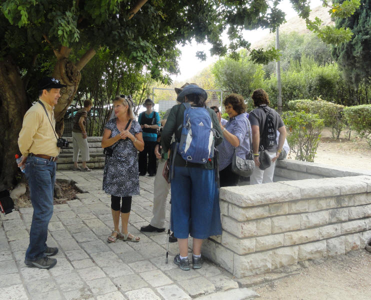
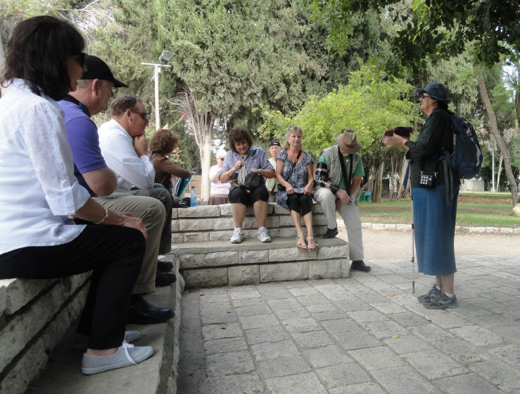
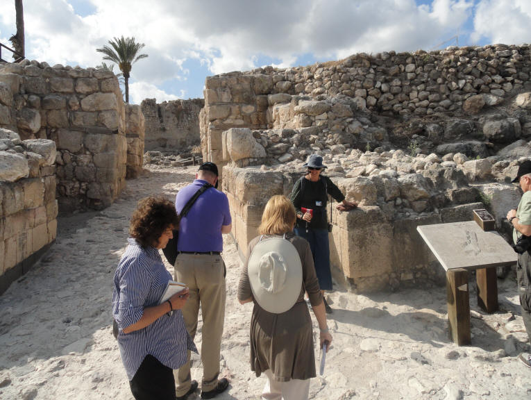
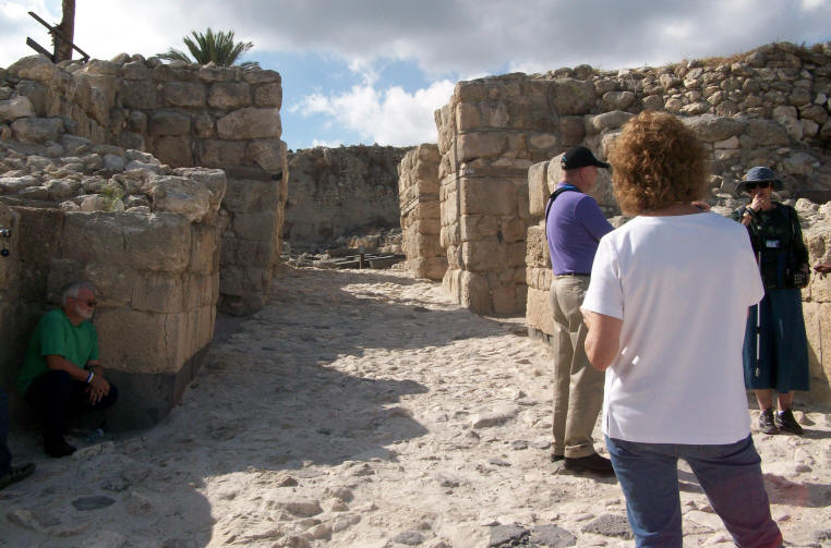
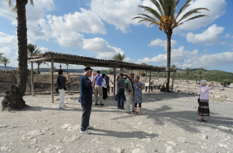
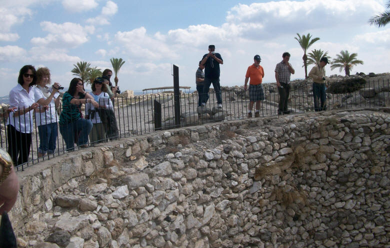
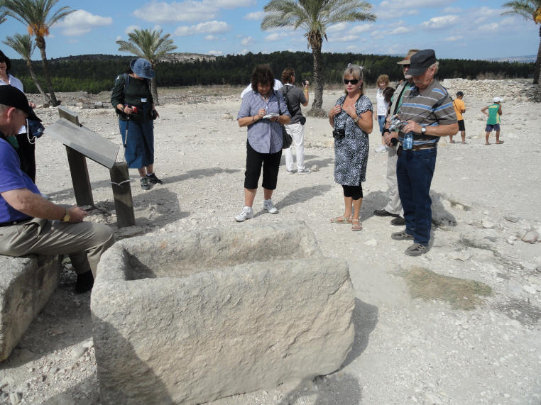
Once off the bus, everyone gathered under the carob tree
as Pamela told us about the significance of the sight
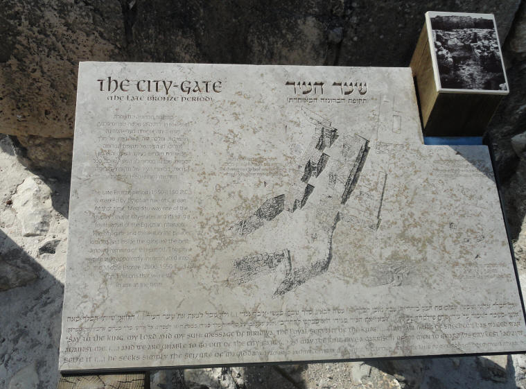
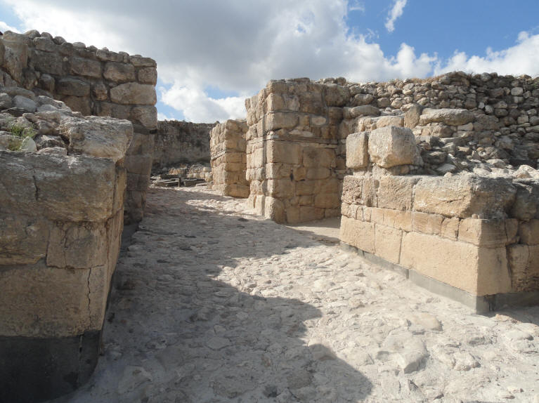
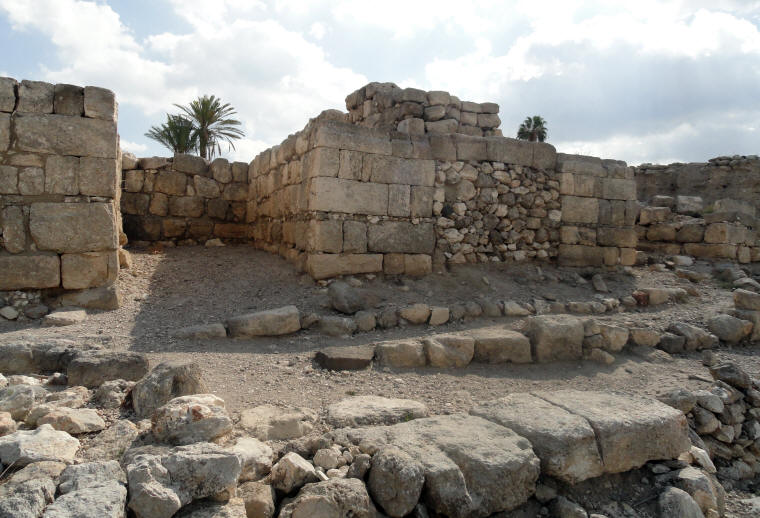
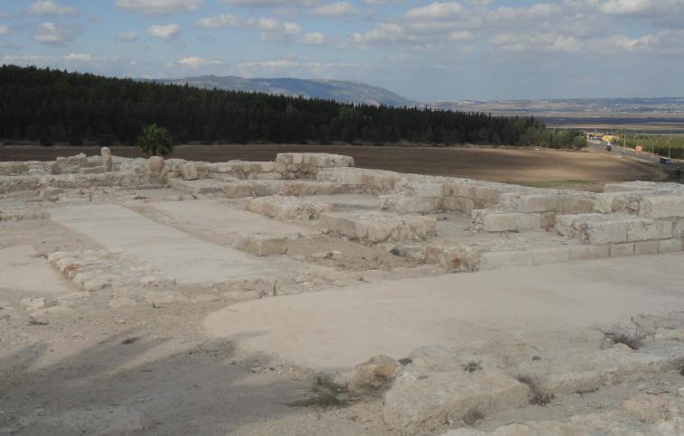
The City-Gate
The Late Bronze PeriodThe Late Bronze period (1550 - 1150 B.C.) is marked by Egyptian rule of Canaan. At that time, Begiddo was one of the country's major city-states and its king a loyal vassal of the Egyptian pharaoh. The city-gate and the elaborate palace located just inside the gate are the best known remains of this period. The city gate was apparently incorporated into the Middle Bronze (2000 - 1550 B.C.) fortifications that were still in use at the time.
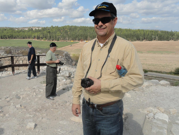
Curtis enjoys a little shade
The City-Gate
The Iron II PeriodMegiddo became an Israelite city sometime between the 10th and 9th centuries B.C. and functioned as an administrative center for the fertile Jezreel Valley. Some time later, a massive wall (1) and a monumental city-gate (2-4) were built. According to one opinion, the gate dates to the reign of Solomon (10th c. B.C.). Other scholars postdate the gate to the reign of either Ahab (9th c.) or Jeroboam II (8the c. B.C.).
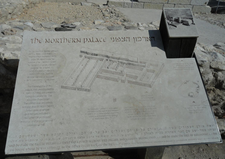
The Northern Palace
The foundations of this palace, first investigated by Y. Yadin in 1960, are presently being excavated by The Megiddo Expedition. The edifice was apparently laid out as a bit hilani (North Syrian Palace) whose architecture included a monumental portico entrance and a large central ceremonial hall.
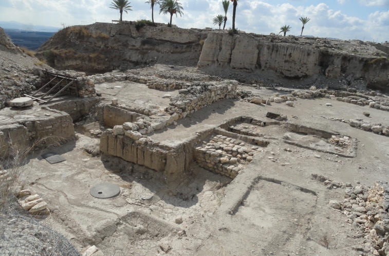
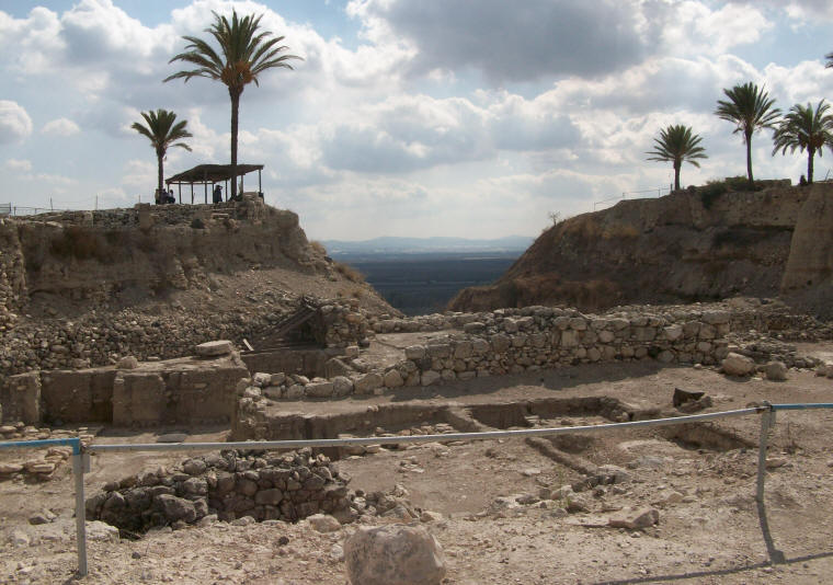
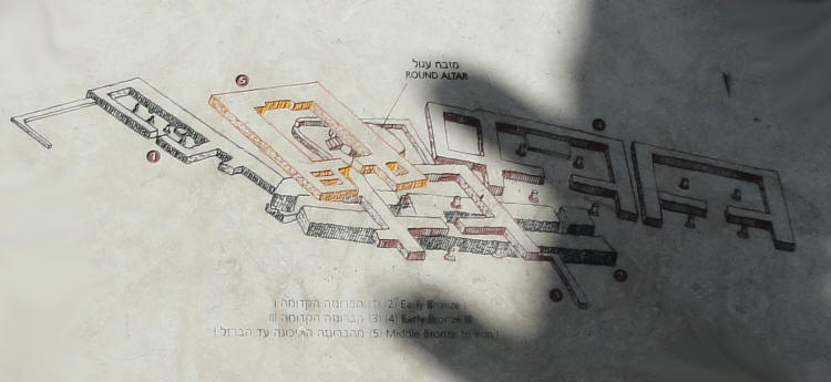
The Sacred Area
This area served as a focus of worship for over two thousand years, from the Early Bronze through the Iron I Periods. The University of Chicago excavation section revealed a series of temples (1, 3-5) built one on top of the other. The Megiddo Expedition, led by a team from Tel Aviv University, uncovered an additional temple (2) unique in the Levant in its monumentality and the thousands of sacrificial animal bones found in and around it.
A Unique Continuity
The deep section dug by the University of Chicago Expedition (1925 - 1939) provides a unique glimpse into the nearly thirty settlements built one on top of the other at the site. Due to the unique continuity of its occupation from the Neolithic period through the Persian period - and the scope of its excavations, Tel Megiddo is considered the 'cradle' of Biblical archaeology and the 'laboratory' of modern research methods.
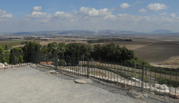
A look over the Jezreel Valley
The city of Megiddo played a prominent role in the history of the ancient Near East. Strategically located at the mouth of the Nahal "Iron Pass", Megiddo controlled access to the road that linked Egypt with Mesopotamia and Anatolia - the most important trade and military route of that time. Megiddo is the only site in the Land of Israel mentioned in the records of all Near Easter ancient powers and was one of the most fought-over cities in the region.
Click Here to see Megiddo Video 3 Click Here to see Megiddo Video 4 [The wind was blowing considerably during this video]
Grainery Storage - with steps going down to the bottom
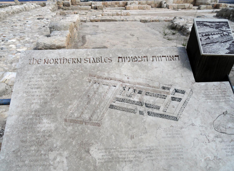
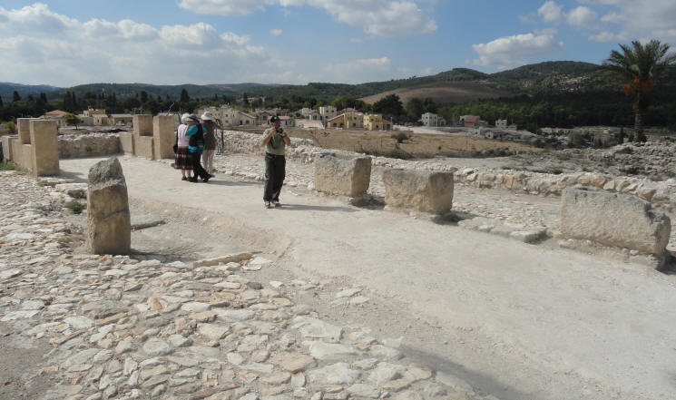
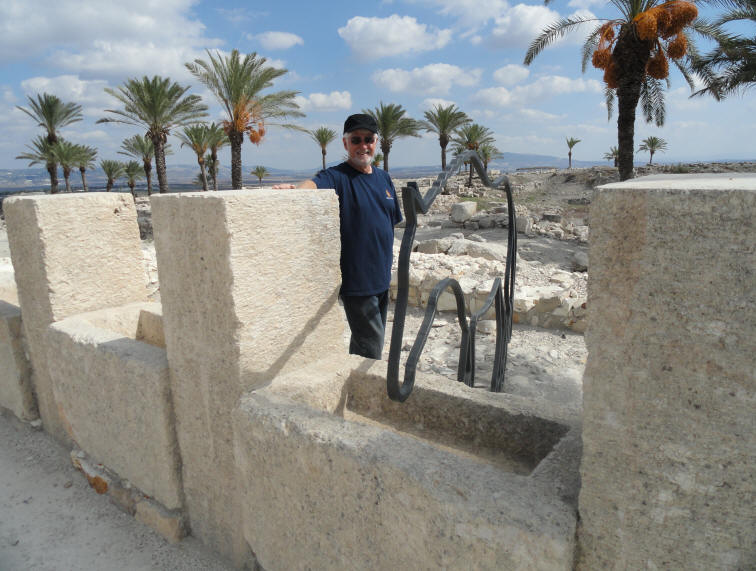
The Northern Stables
Architectural complexes dating from the same period (9th or 8th c. B.C.) and of similar design were found near the northern and southern edges of the mound. Through the years they were variously interpreted as stables, storehouses or marketplaces. Recent research seems to corroborate their identification as horse-stables.
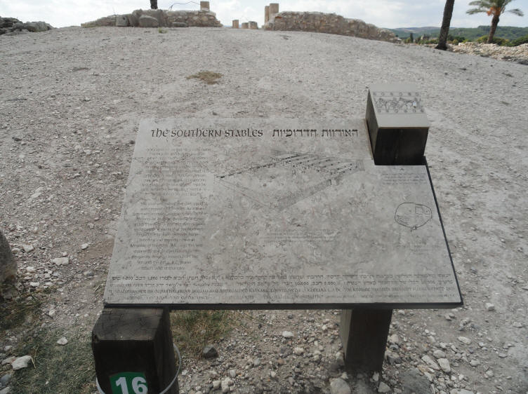
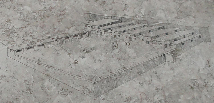
The Southern Stables
The southern stables' five units could accommodate 150 horses. As in the northern stable complex, each unit consists of a rectangular building divided into three sections by two rows of alternating pillars and troughs. It seems that the Northern Kingdom established a major horse-breeding and training center at Megiddo in the 8th c. B.C., and this was apparently one of the reasons for its prosperity. Assyrian records from the 9th and 8th c. B.C. praise Israel's skills in chariotry.
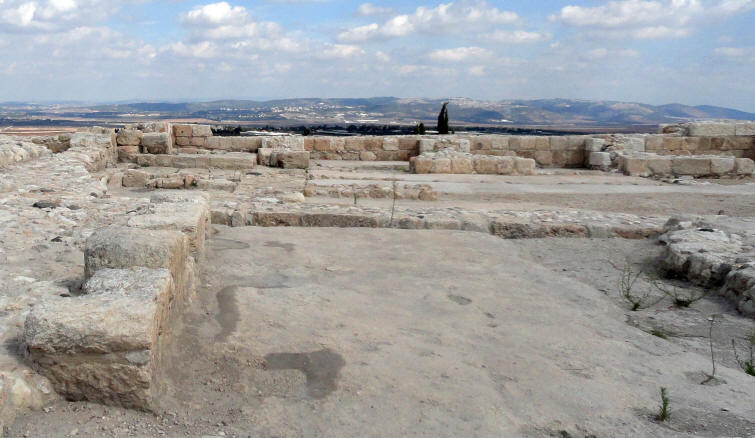
Houses atop Megiddo
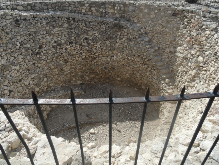
The Water System
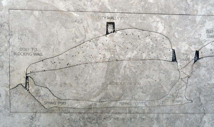
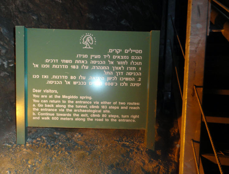
The problem of supplying water to large cities, a serious issue even in times of peace, could become acute in times of siege. Megiddo's main water source was located at the foot of the mound, beyond the city's fortifications. In order to ensure access to the spring from within the city, a hidden gallery was built on the slope of the mound in the 19th or 9th c. B.C. This gallery was later blocked and replaced by an elaborate water system which remained in use in the Assyrian city of the 7th c. B.C.
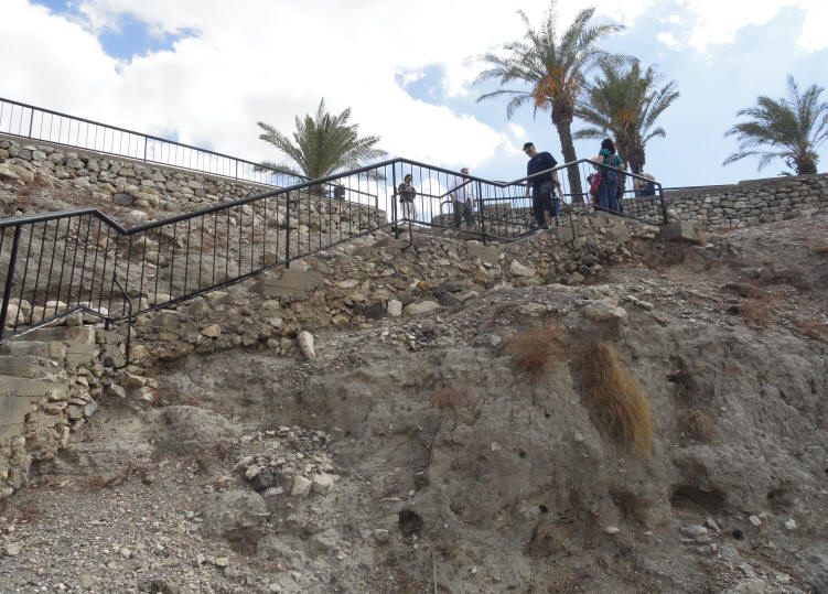
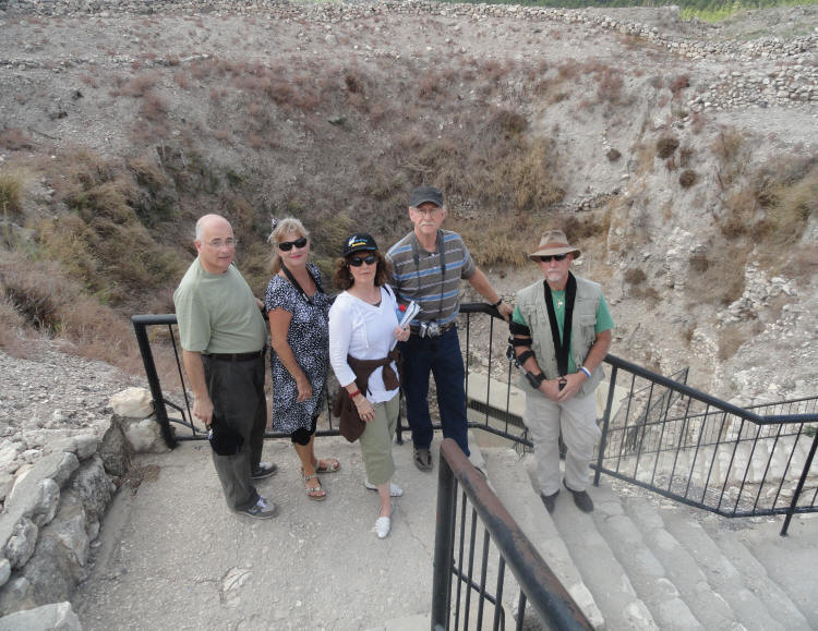
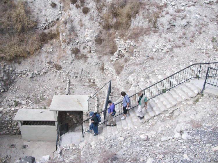
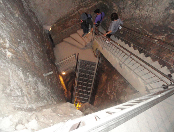
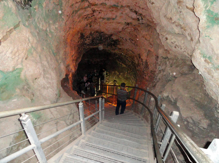
The water system, which consists of a square shaft 35 metres (115 ft) deep, the bottom of which opens into a tunnel bored through rock for 100 metres (330 ft) to a pool of water. Visitors leave through the original entrance to the spring, which brings them out at the foot of the tel.
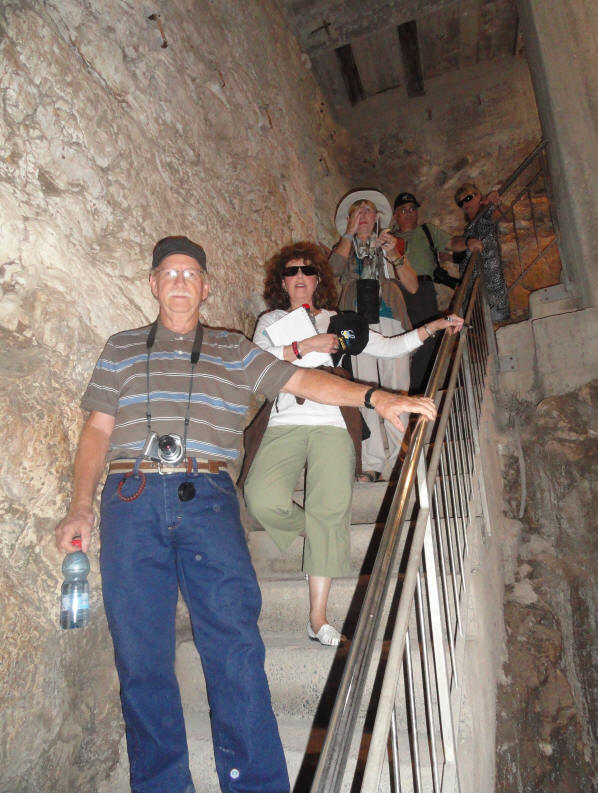
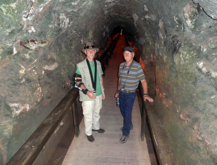
Down and down we go
Finally reaching the bottom ...
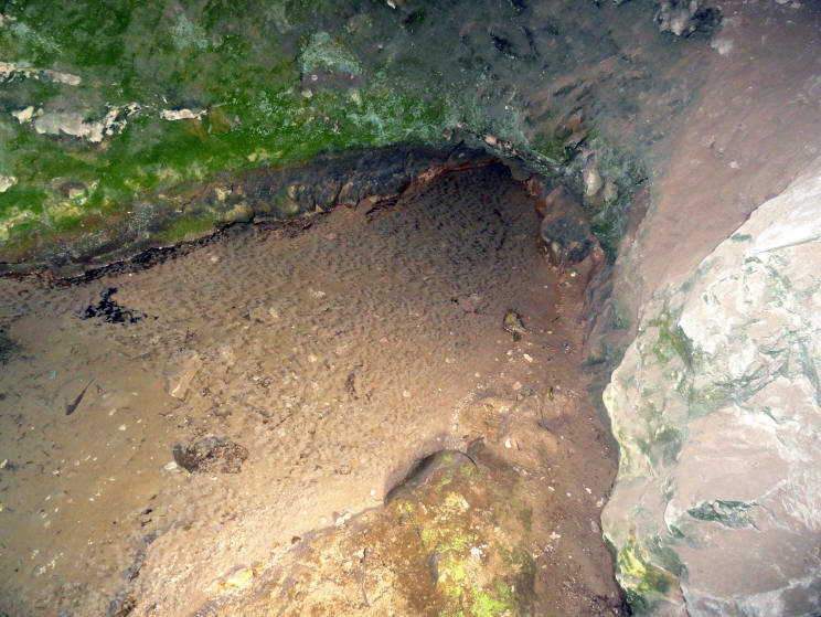
... we see the spring
Looking back down the steps as others gather around the spring
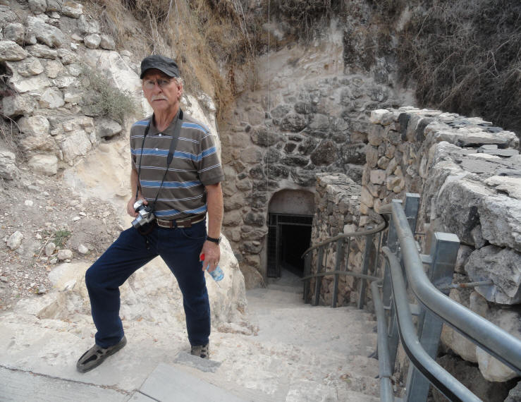
Out of the water system ...
... and onto the bus
Mount Carmel,
Muhraka & the Carmelite Monastery
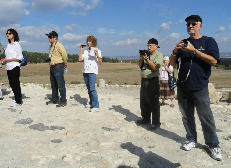
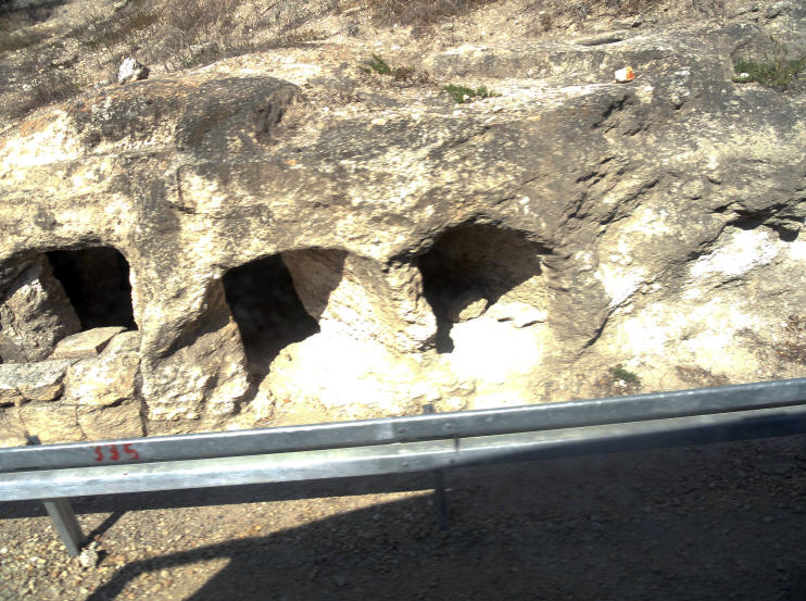
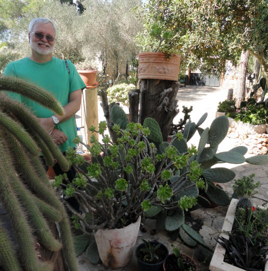
Mount Carmel is referenced most often as a symbol of beauty and fertility. To be given the "splendor of Carmel" was to be blessed indeed (Isaiah 35:2). Solomon praised his beloved: "Your head crowns you like Mount Carmel" (Song of Songs 7:5). For Carmel to wither was a sign of devastating judgment (Nahum 1:4). The Mount Carmel region was allotted to the tribe of Asher (Josh 19:26). As the tour continues,
we head toward Mt. Carmel and pass some ancient burial caves in the side of a hill
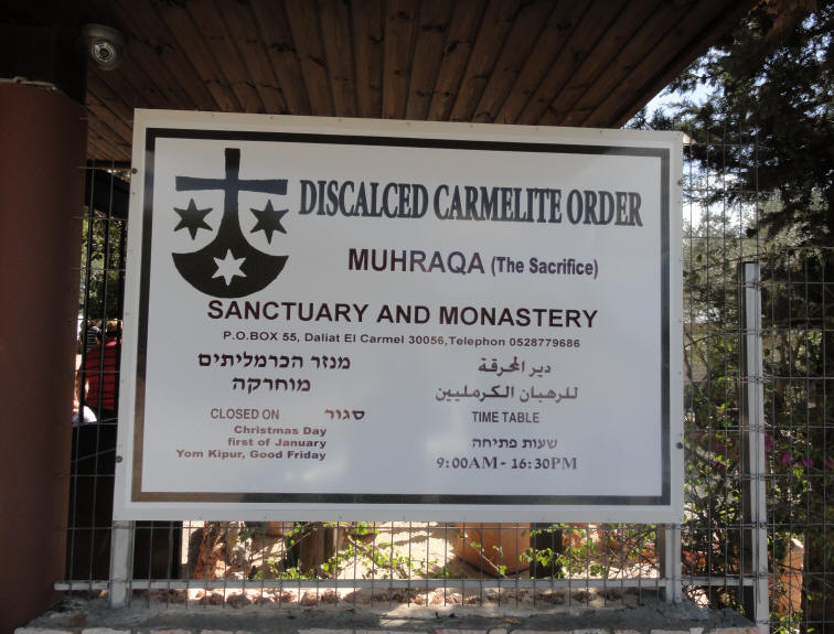
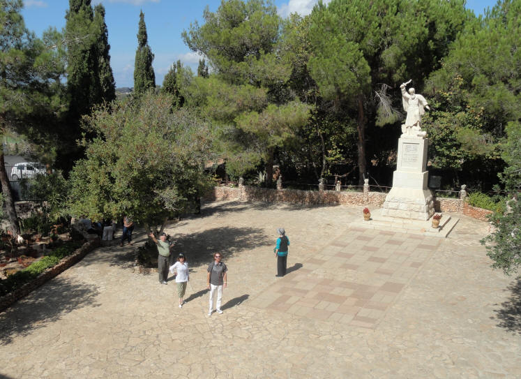
On the southeastern part of Mount Carmel lies Muhraka meaning "the sacrifice" and is the traditional site of Elijah's contest with the prophets of Baal (I Kings 18:20 - 46). Elija's challenge came during a period after successive kings "did evil in the sight of the Lord" (1 Kings 16:30). King Ahab had married the Phoenician princess Jezebel. She turned his allegiance from Yahweh to her god Baal and had the prophets of Yahweh slaughtered. Elijah called on Ahab to assemble the 450 priests of Baal on Mount Carmel. There he challenged the priests to call down fire from Baal to light a sacrifice. When Baal failed to respond to the priests' cries, Elijah rebuilt the ruined altar of the Lord and offered a sacrifice. Immediately fire from heaven consumed the offering, even though it had been soaked in water. Entrance to Muhraka
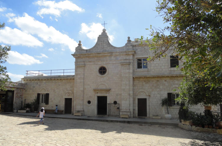
The monastery
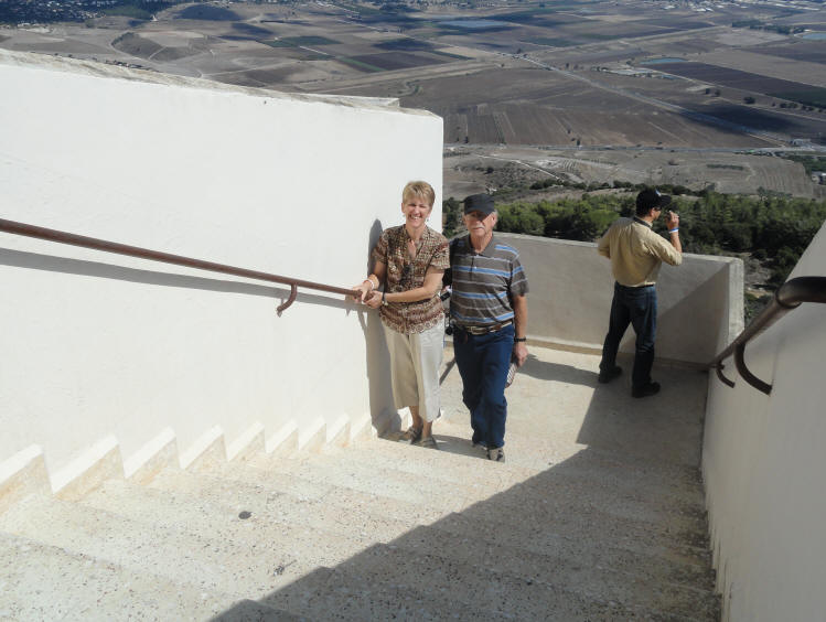
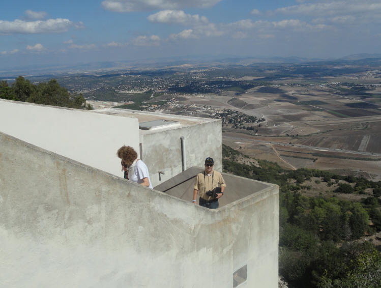
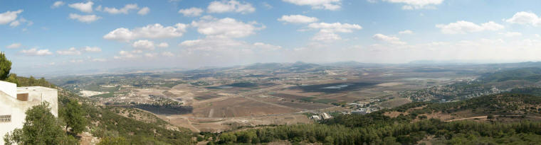
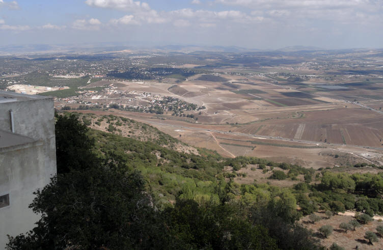
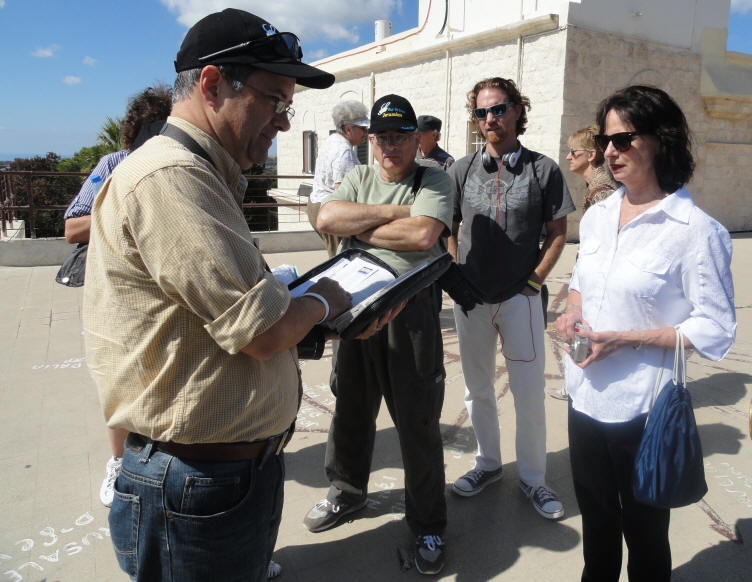
The main reason for our visit to Muhraka
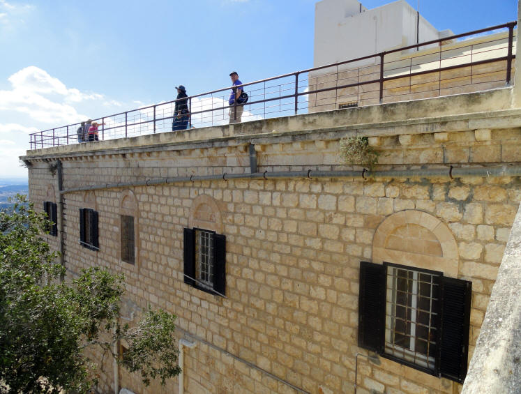
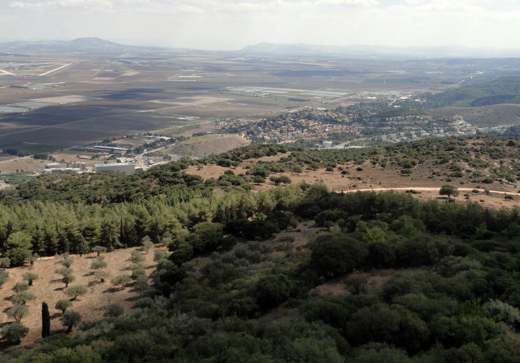
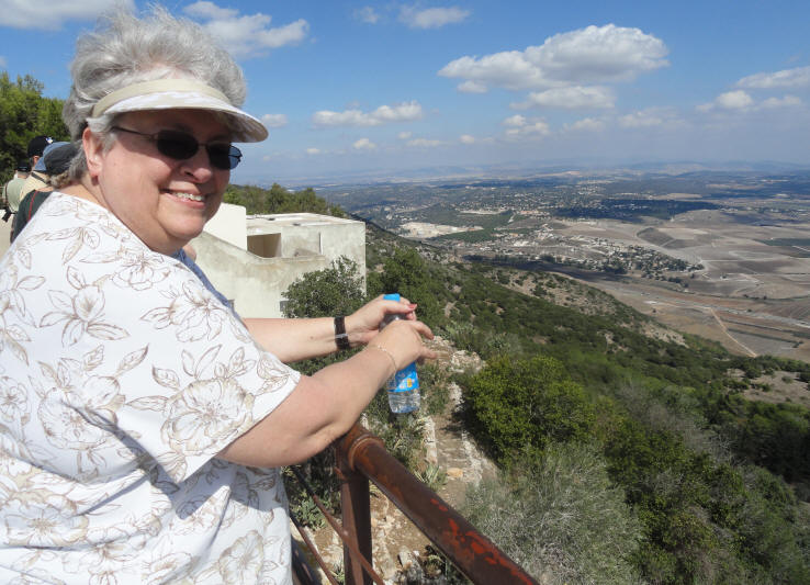
was to look at the scenic view from the top of the monastery
What an absolutely incredible view - from one side of Israel to the other!
Pamela talks with the group about the area surrounding the Carmelite Monastery (2:46)
We pause to read the story of Elijah
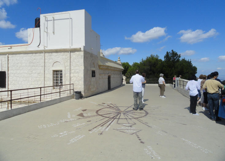
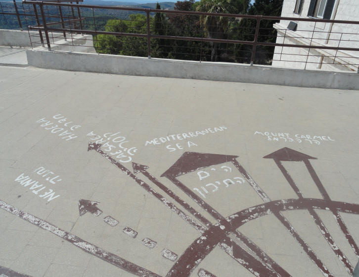
A map painted on the roof showed you where to look to see
the Mediteranean Sea, Tel Aviv, Caesarea, hadera, Netanya, Jerusalem and much more
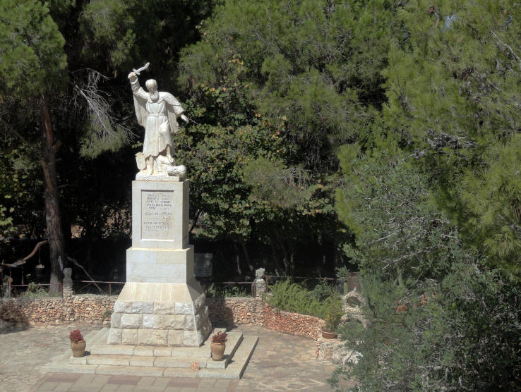
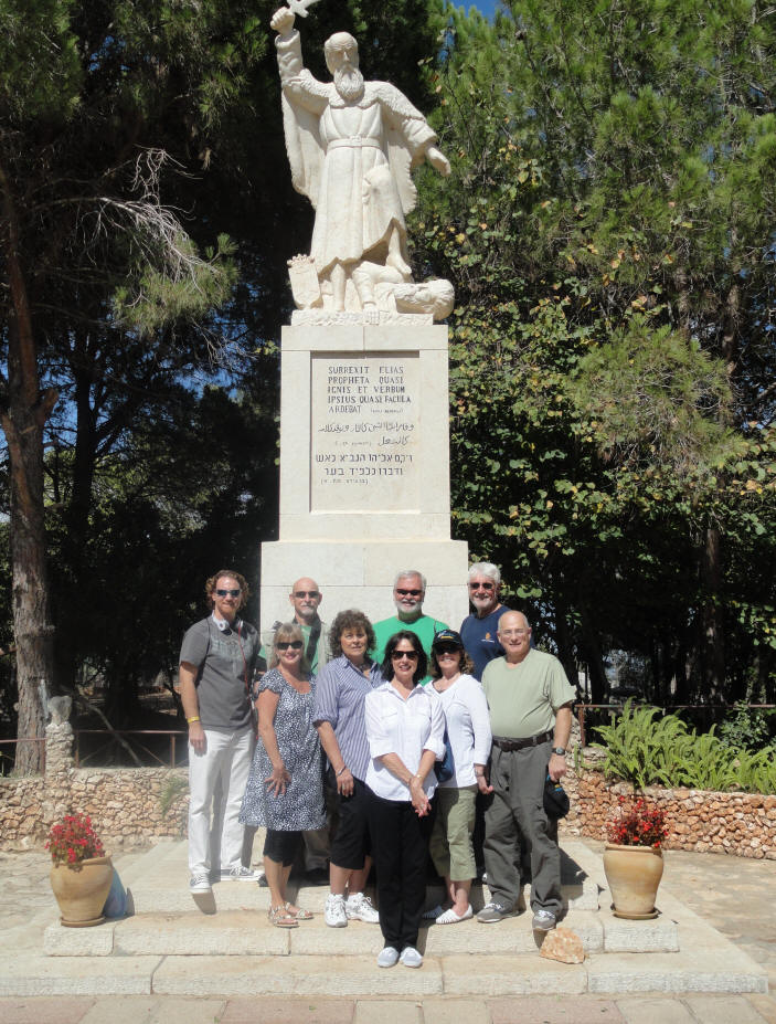
The statue of Elijah slaying a priest of Baal
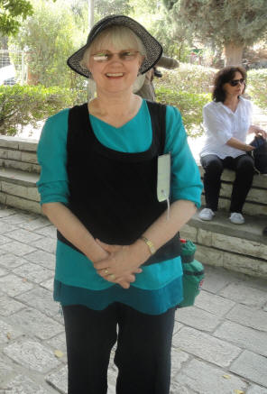
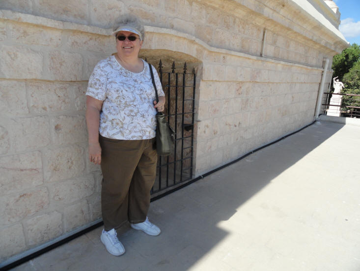
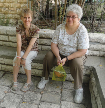
Carolyn poses for a photo
Part of the Beit Yeshua group poses for a photo
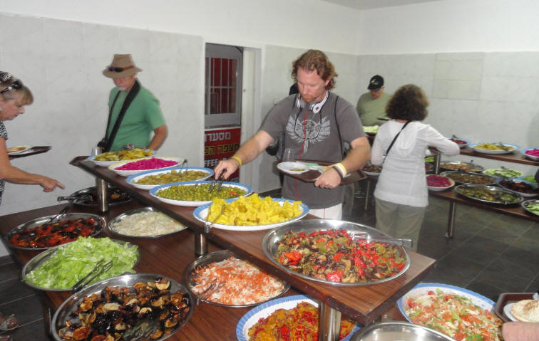
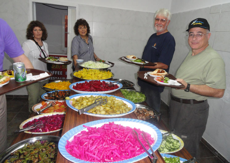
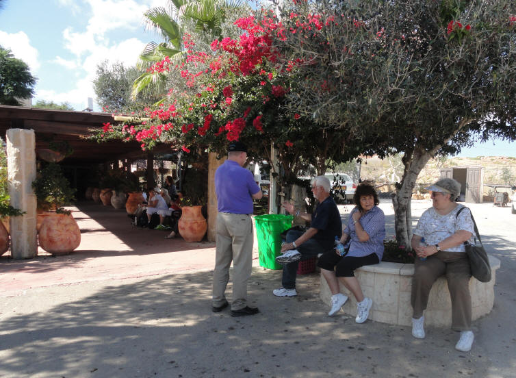
Falafel Lunch at the Arab Restaurant on Mt. Carmel
Another wonderful falafel lunch for about $20 for two people
It all starts with a soft piece of pita stuffed with falafel balls
then you have ALL OF THIS to choose from! WOW!
Israeli food is AWESOME!
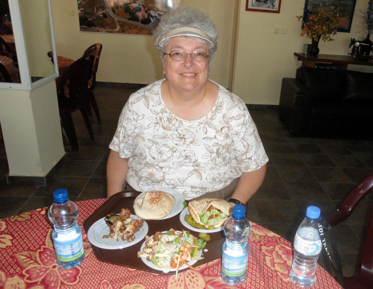
Carolyn with my and her falafels & veggies
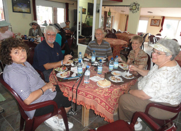
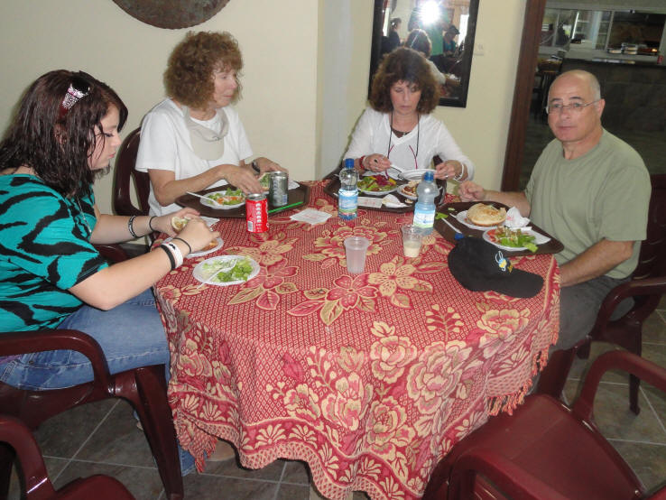
We fellowship while some finish lunch
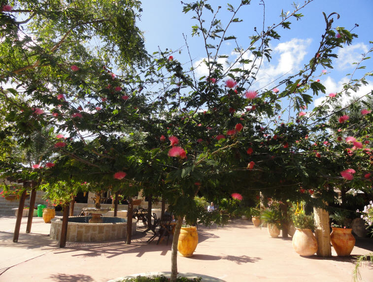
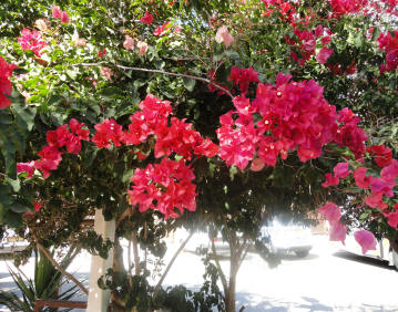
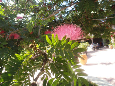
A beautiful mimosa-like tree and bougainvillea
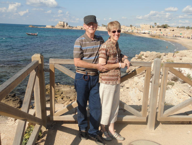
Time to get on the bus and we're off to Caesarea.
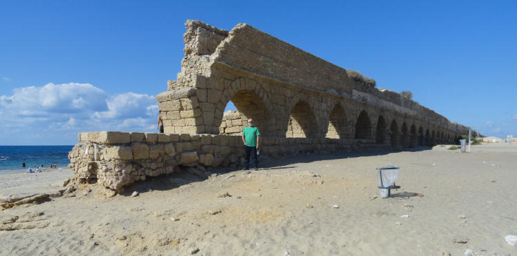
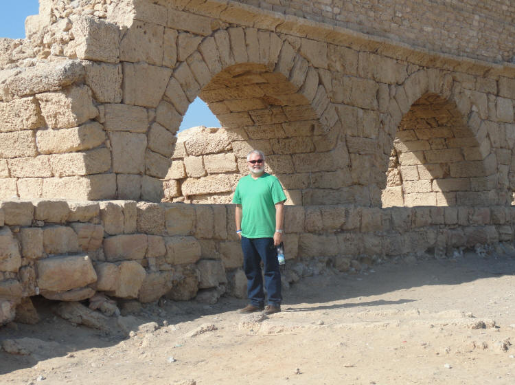
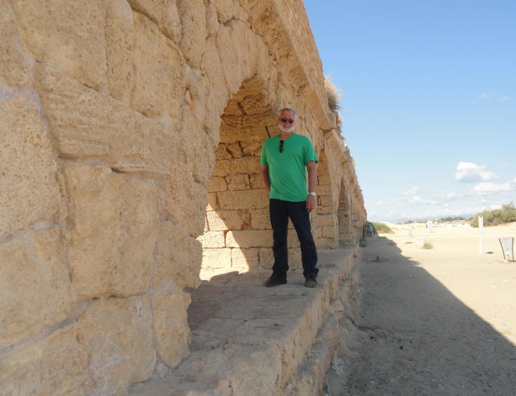
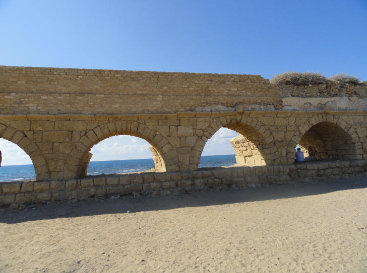
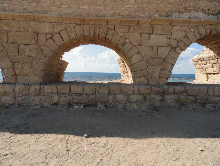
The old city Caesarea required a steady flow of running water. Initially its waters came from the local wells. However, as the population grew to several hundred thousand people, a large scale aqueduct was required to bring the water from a distance. The aqueduct was built in several phases, starting from King Herod. The first aqueduct was built by Herod (37BC to 4BC), at the time the new city was founded and dedicated to the Roman Caesar, Augustus. It brought the water from the southern side of Mount Carmel, at Shummi, about 10KM to the north east of the city. The water flowed on a single raised canal, and in one section it is dug into the rock (at Jiser-e-zarka, an Arab village north of Caesarea). Later, additional aqueducts were built. The aqueduct continued to supply water for 1200 years. During the ages it was repaired several times.
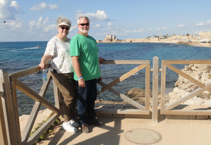
Curtis poses in from of the Caesarea Aqueduct
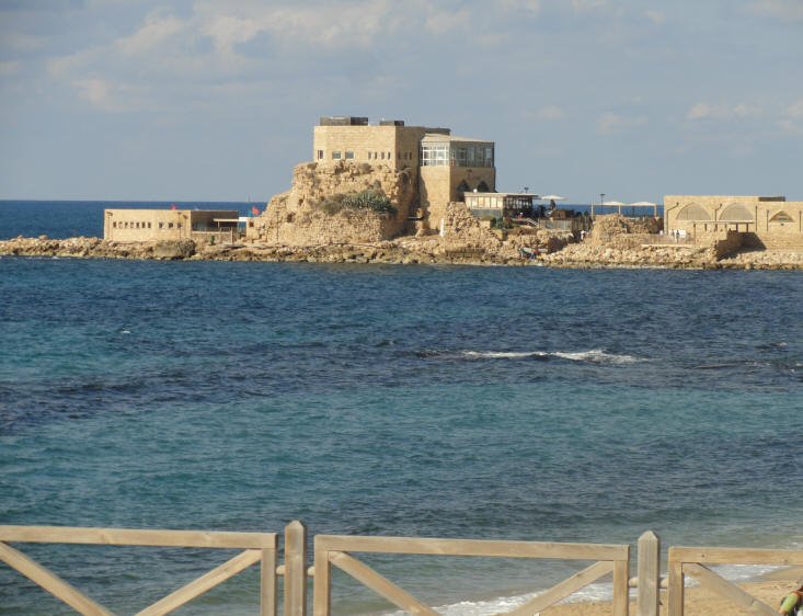
Caesarea Maritima (Caesarea of the Sea) was a city and harbor built by Herod the Great about 25–13 BC. Herod constructed a palace, public buildings, a Roman-styled theatre, an amphitheater and hippodrome and other entertainment facilities. Today, its ruins lie on the Mediterranean coast of Israel about halfway between the cities of Tel Aviv and Haifa, on the site of Pyrgos Stratonos ("Straton's Tower"). Caesarea Maritima was named to flatter Caesar.
Herod built his palace on a promontory jutting out into the sea, with a decorative pool surrounded by stoas (covered walkways). In 13 BC, Caesarea became the civilian and military capital of Iudaea Province and the official residence of the Roman procurators and governors, including Pontius Pilate. Josephus describes the harbor as being as large as the one at Piraeus, the major harbor of Athens.
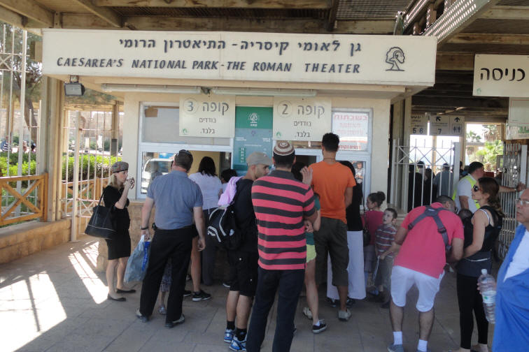
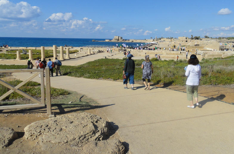
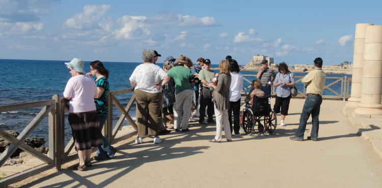
Going into the Caesarea National Park
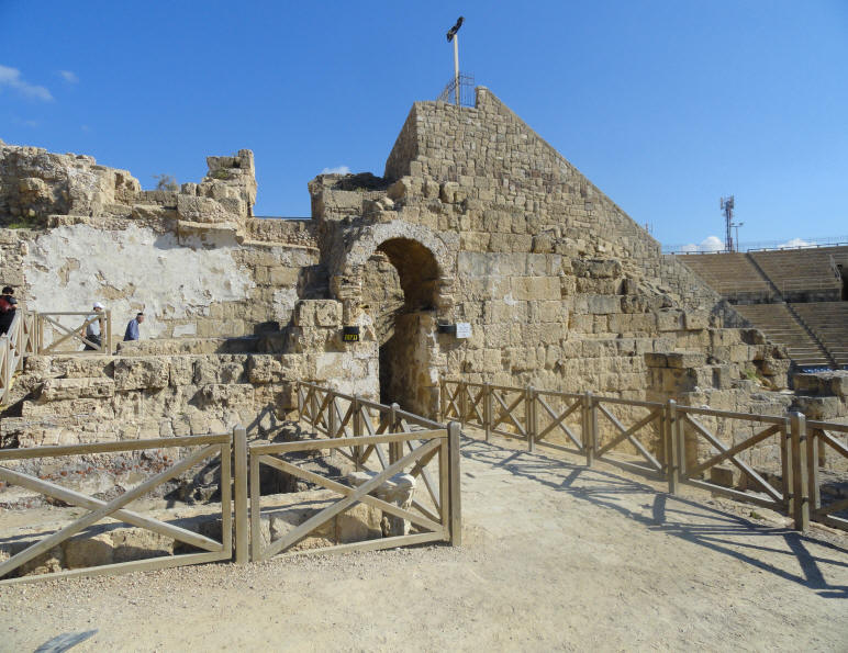
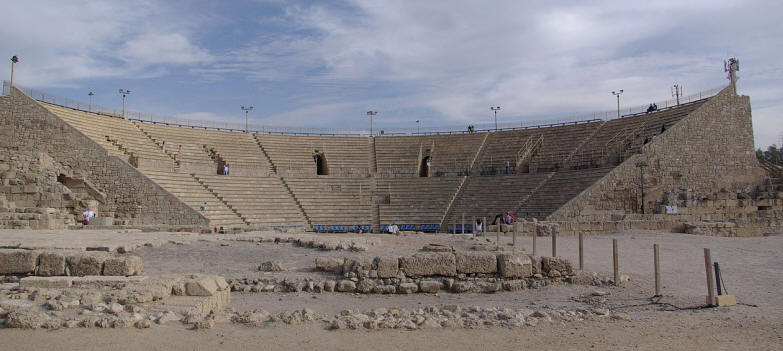
The Caesarea Roman Theatre originally built by Herod the Great
Pamela talks about Caesarea - CLICK HERE
Heading down to the remains of Herod's palace
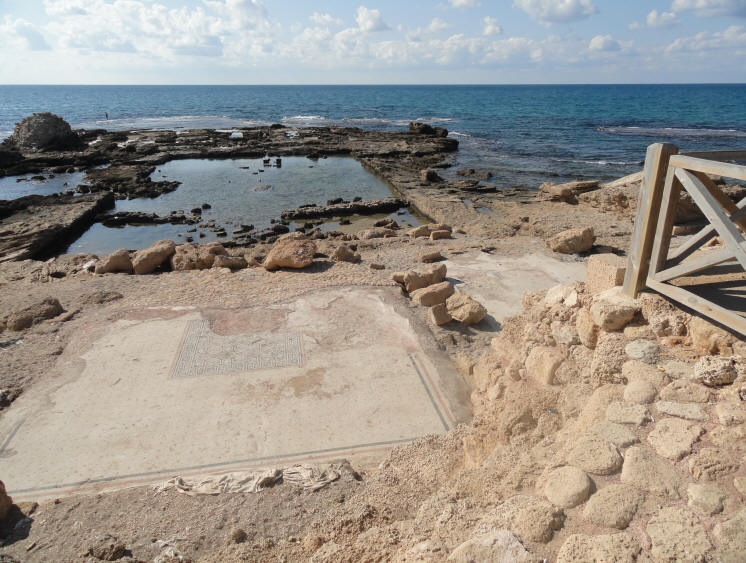
[Below] Excavations have uncovered the remains of four rooms on the eastern side of the pool, three of which were decorated with mosaic floors. The mosaics bore the signs of heavy fire damage that may have caused the destruction of the building. The middle and the largest of the tree rooms was fronted by a portico - a roofed space forming the entrance or centerpiece of the facade - of which only the foundation has remained. The portico framed an excellent view of the large shallow pool, less than a meter deep, that was at the heart of the complex. The pool was surrounded by a row of columns supporting a partial roof. At a later period of its history, after the building had been destroyed, channels were excavated from the pool to the open sea, and apparently at that time it began to be used as a fish-raising installation. The rock-cut ornamental pool at the palace
Looking toward the Herodian Harbor
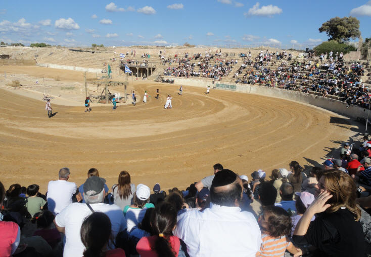
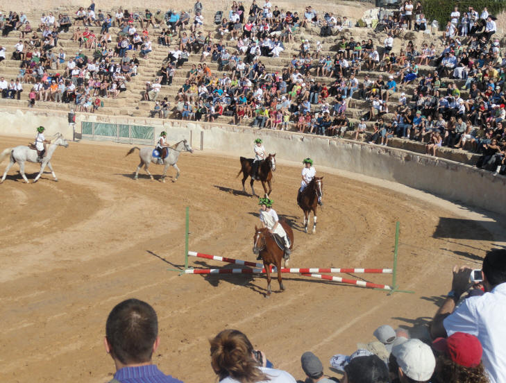
Herod's Ampitheatre and Hippodrone was hosting a Sukkot celebration
remembering events from 2000 years ago
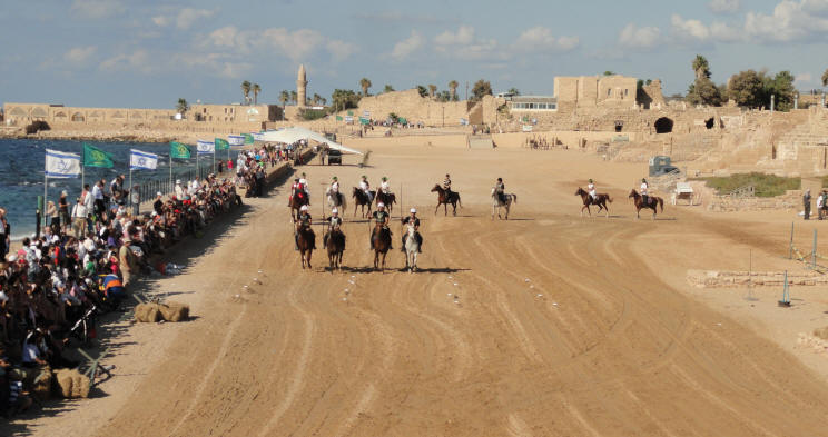
Click Here to see the Video of the show at
Caesarea MaritimaThere was also some equestrian activities
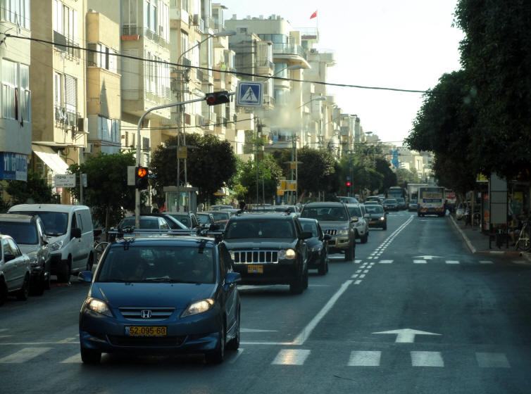
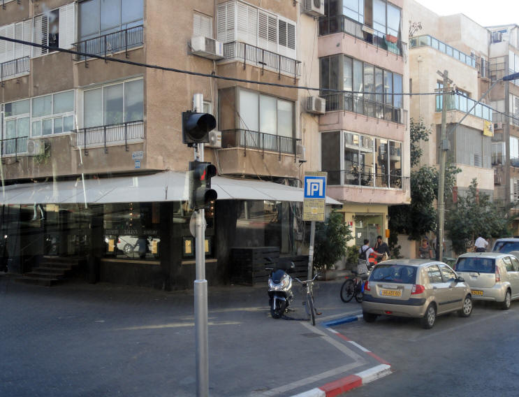
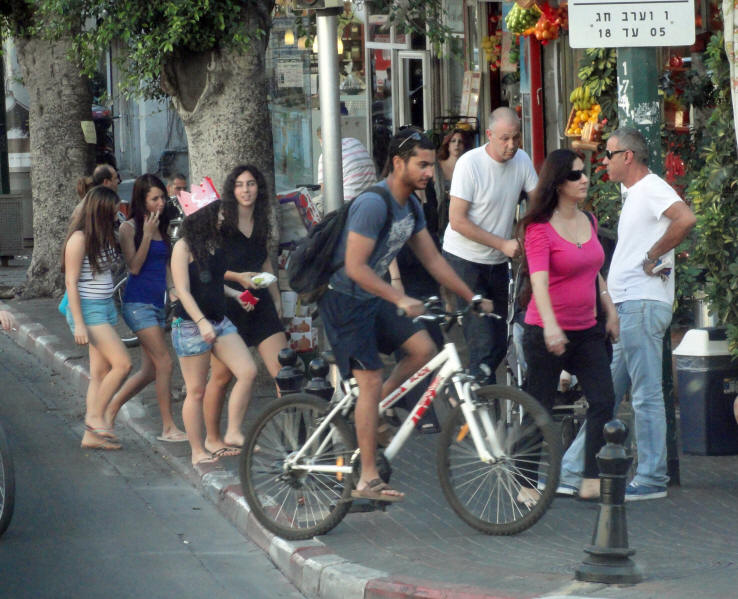
After we left Caesarea, we headed toward Tel Aviv. The following photos were taken from the bus window as we drove through the city.
There were lots of scooters and bikes parked everywhere
Tel Aviv is definitely the city of a younger generation
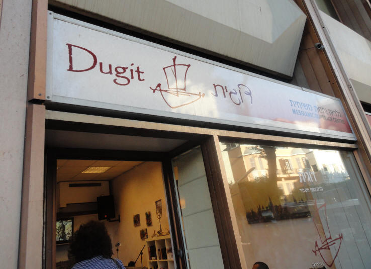
Our next stop was Dugit Outreach Center (a Messianic Coffee Shop) in Tel Aviv.
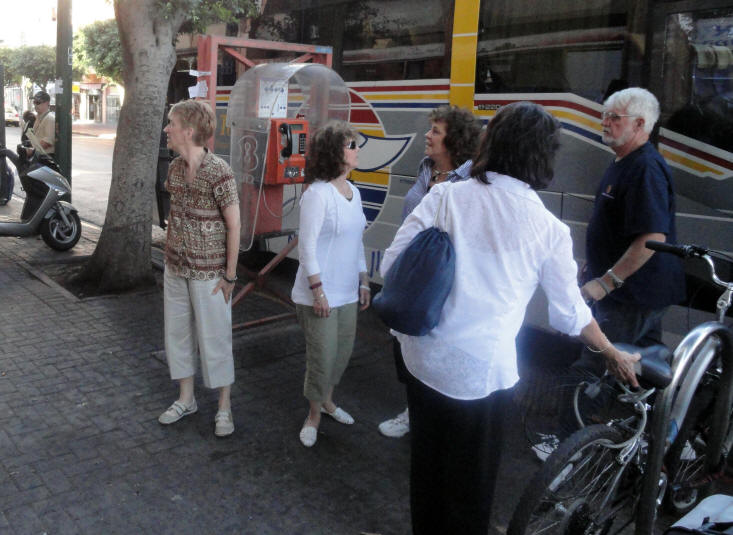
Everyone gets off the bus
Dugit Messianic Outreach Center
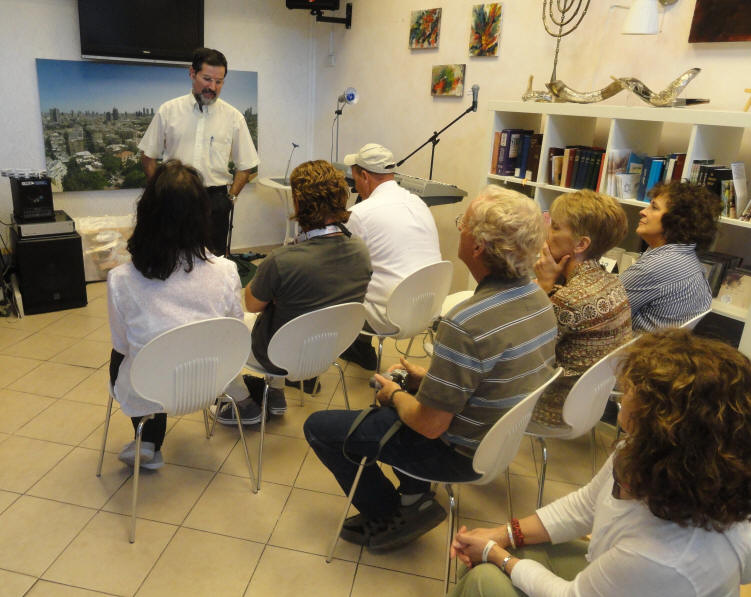
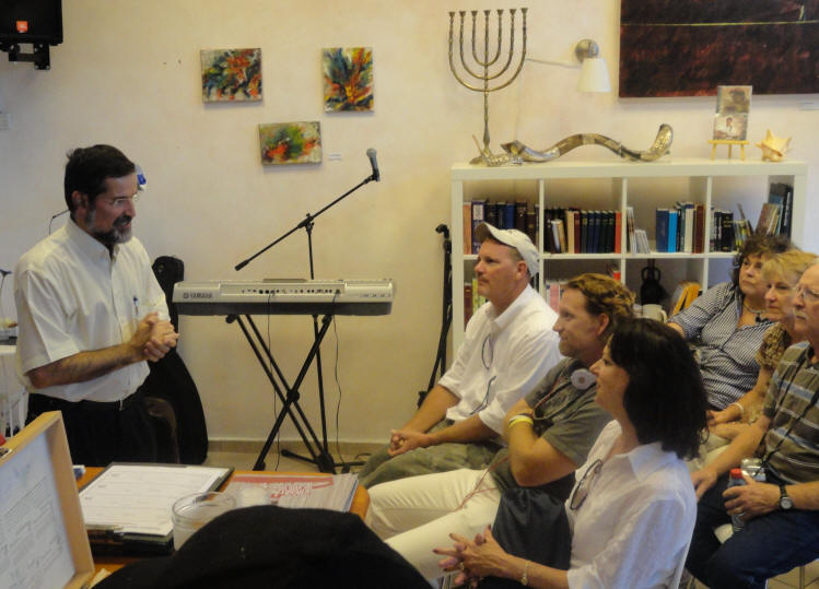
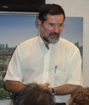
Cathy introduced everyone to Avi Mizrachi
After Avi shared his testimony,
he prayed for us then we prayed for him and Dugit Outreach Center
Click Below for videos of Avi's Testimony
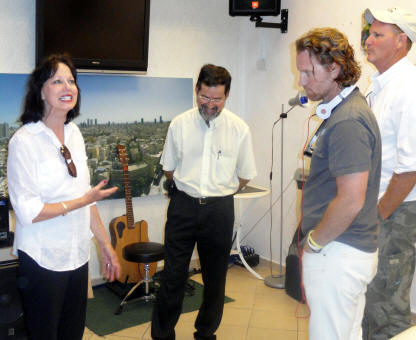
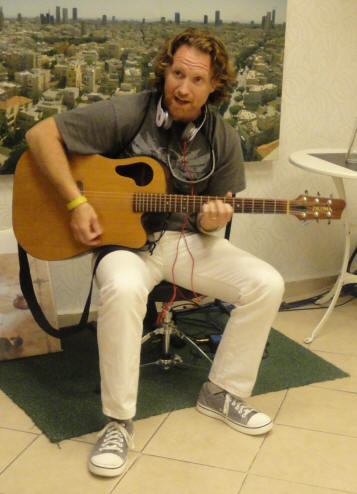
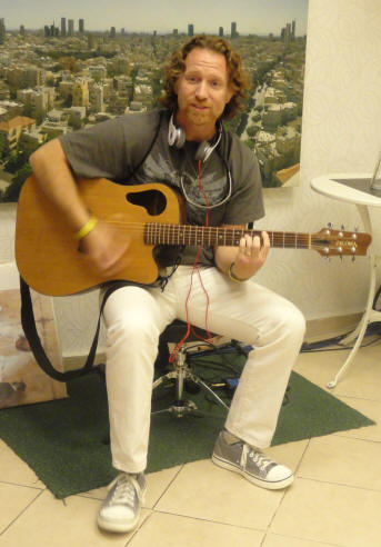
Part 1 Part 2 Part 3 Part 5 Part 6 Part 7 Part 8 We were invited to go up into the Dugit Prayer Room in the building behind the coffee shop. From the 12th floor there was a wonderful view of the city. We prayed for Tel Aviv, the Jewish People, Israel and one another. Gid takes the opportunity to share a song before we leave Dugit
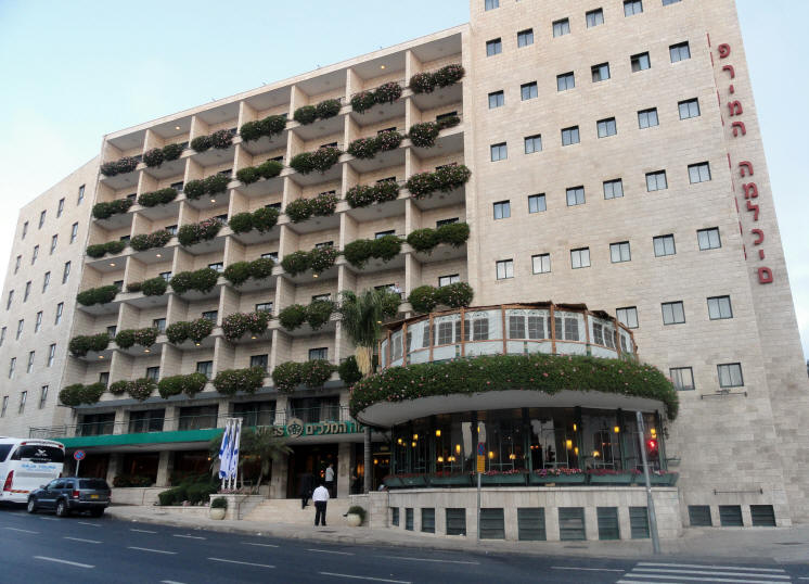
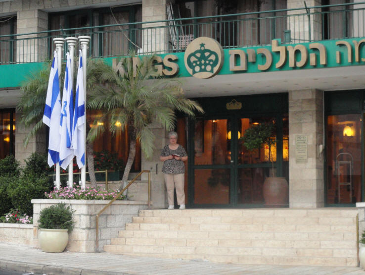
After we left Dugit Outreach Center in Tel Aviv, we headed for Jerusalem. For the next seven nights and days we'd be staying at the Prima Kings Hotel.
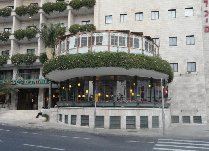
The Prima Kings Hotel
The 2nd floor of the hotel housed a Beit Knesset (Synagogue)
Above the 1st floor circular lobby you can see the Beit Knesset Sukka
Carolyn at the entrance to the hotel
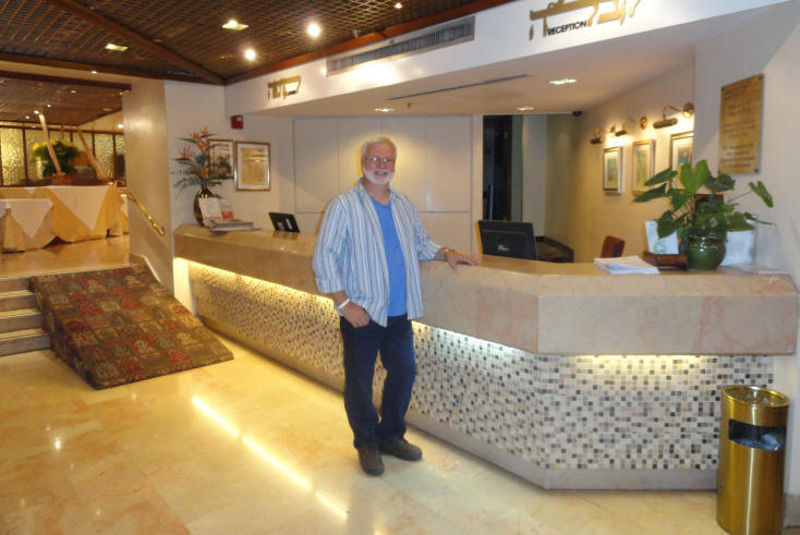
Reception area at the Prima Kings Hotel
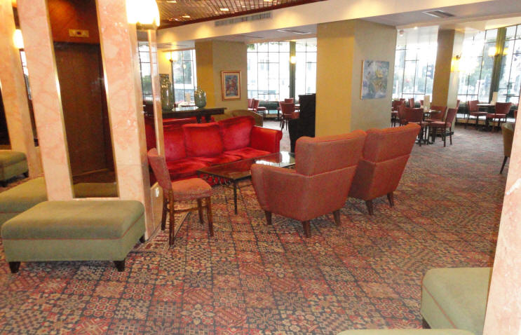
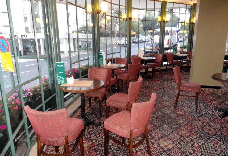
The hotel lobby
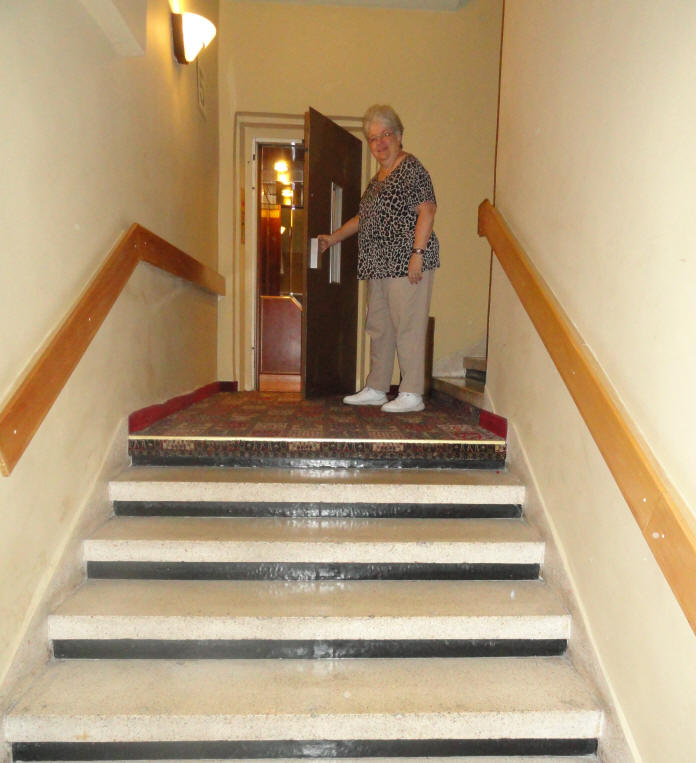
The elevator in the hotel had an actual door
When you got off of the elevator, you had to walk up the steps to go to the 6th floor
and down the steps to go to the 5th floor
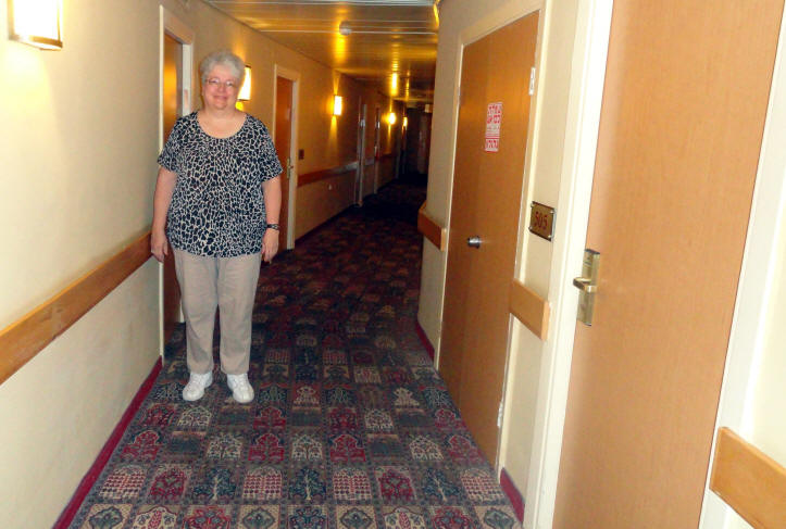
Our room number was 505
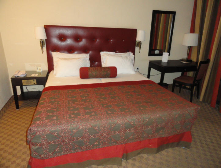
Our hotel room at the Prima Kings
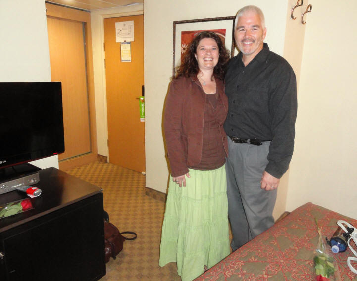
Jim & Linda were at the hotel when we arrived - waiting to welcome everyone to Jerusalem
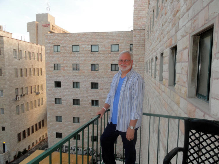
Photo on our hotel balcony
More Photos and Information From the 2011 Sukkot Trip
Day 2 - 13 Oct 2011 Day 3 - 14 Oct 2011 Day 4 - 15 Oct 2011 Day 5 - 16 Oct 2011 Day 6 - 17 Oct 2011 Day 7 - 18 Oct 2011 Day 8 - 19 Oct 2011 Day 9 - 20 Oct 2011 Day 10 - 21 Oct 2011 Day 11 - 22 Oct 2011 Day 12 - 23 Oct 2011